Proactively reduce water loss with high accuracy data collection, GIS, and IoT Remote Monitoring
Aging infrastructure not only relates to the pipes and pump houses, but also to the distribution of knowledge. As leadership retires, so does decades of institutional knowledge. In fact, many utilities still rely on paper maps and large binders for storing data. Unfortunately, sorting through the stack takes time, and tracking trends is nearly impossible. Meanwhile, pipes continue to leak and bursts may occur. Ferguson is here to help. Our simple and intuitive tools capture field assets and geographic information in order to support data-driven decisions and better utility asset management.
What is the first step to reduce non-revenue water?
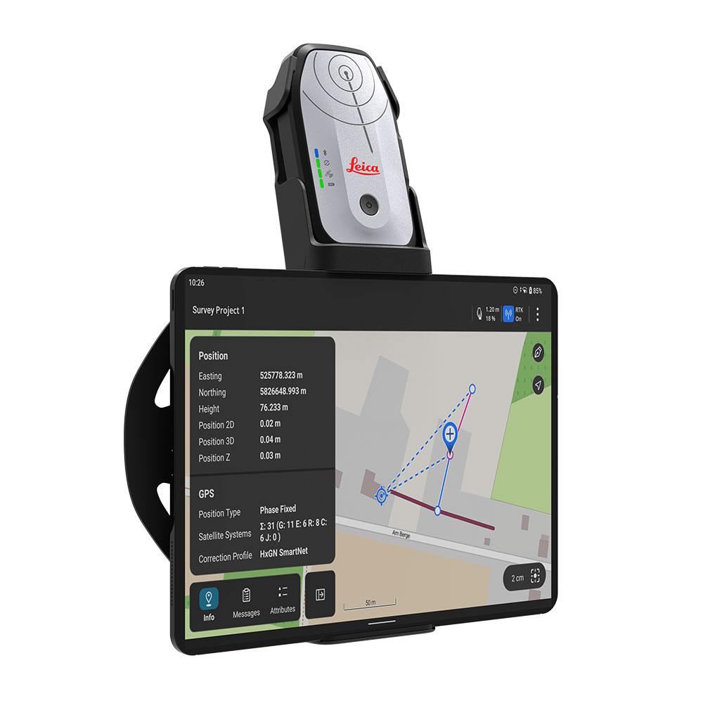
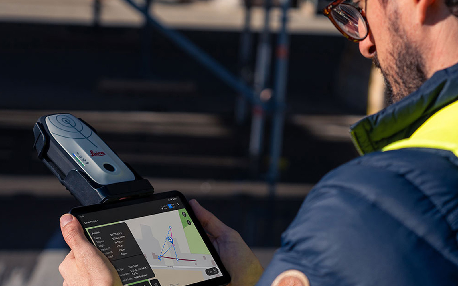
Knowledge is power – that’s why GIS mapping for utilities is so important. Using portable GPS data collection devices, such as the Leica FLX100 Plus, you can create a comprehensive utility network digital map. This includes high-quality GPS mapping that covers the entire water process. Starting with the water source and treatment facility, and extending to the distribution network and end user. Once you map a system, you can layer in different technologies to fit the scale of your utility and increase trackability. Now, your utility is set to collect data, recognize trends, and proactively tackle non-revenue water.
Listen to The Real Cost of Water Loss: Tackling Non-Revenue Water on the Ferguson Waterworks podcast.
Ferguson Waterworks is a single-source supply and solutions partner for water and wastewater authorities.
From underground pipes, valves, and fittings to technology integrations, our One Utility team is dedicated to your success. Well-versed in local regulations, we help you navigate infrastructure funding opportunities and pre-bid requirements. Furthermore, early engagement provides additional space to integrate innovative solutions. As a result, we help reduce timelines, maintain budgets, and supersede local compliance requirements. Contact your local expert.